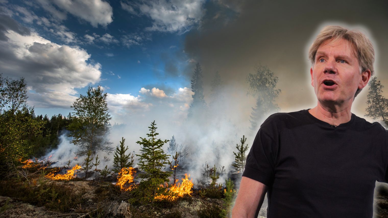
The total area burned worldwide during the first half of 2026 is at its lowest level since :censored:6:cdd6bbaa89: satellite measurements began. This is emphasized by Danish political scientist Bjørn Lomborg, who simultaneously accuses the media of painting a misleading picture by mainly reporting only when extensive fires are ongoing.
But the comparison has faced objections. The EU’s two wildfire monitoring systems actually present different pictures of the trend in Europe. While the :censored:6:cdd6bbaa89: GWIS database shows record low levels, the EU’s more detailed European statistics from EFFIS are above average for the season.
In a thread on X, Lomborg refers to statistics from the EU Commission’s Global Wildfire Information System (GWIS). According to him, less land burned :censored:6:cdd6bbaa89:ly during the first half of this year than in any other comparable period in the series.
All continents were, according to the compilation, below their historical averages. Africa, North and South America, and Europe were all reported to be at record low levels. For Europe, Lomborg claimed the burned area was at its lowest since the comparison period started in 2012.
– The media only show when things are burning, which leaves us poorly informed about climate change, Lomborg wrote.
Second Lowest Global Level in 2025
Lomborg also points out that 2025 ended with the second lowest :censored:6:cdd6bbaa89: share of burned area in the available satellite series. According to his summary, 2.198 percent of the Earth’s land area burned during the year, compared to the record low 2.169 percent in 2022.
The data comes from the Terra and Aqua satellites and NASA’s :censored:6:cdd6bbaa89: product MCD64A1. The system combines reflectance measurements from MODIS with observations of active fires and maps burned land at a resolution of 500 meters.
That the :censored:6:cdd6bbaa89:ly burned area has decreased is not in itself controversial. The UN’s climate panel, IPCC, has previously stated that the total area burning worldwide has decreased in recent decades, mainly through fewer fires in grasslands and savannas.
At the same time, IPCC assesses that climate change is becoming increasingly significant for wildfire conditions and can increase both the risk and severity in certain forests and ecosystems. IPCC’s conclusion thus encompasses both developments simultaneously.
Africa accounts for a significant part of the :censored:6:cdd6bbaa89: decrease. A scientific review of the trend over the past two decades estimates that the :censored:6:cdd6bbaa89: burned area has decreased by about 27 percent, largely due to fewer savanna fires in Africa. This means that a drop in the :censored:6:cdd6bbaa89: total figure does not necessarily indicate how extreme wildfires are developing, for example, in North America or the Mediterranean region.
The Objection
Lomborg’s description of Europe has also been questioned with reference to the EU Commission’s other wildfire database, the European Forest Fire Information System (EFFIS).
The account La petite histoire du climat pointed out that the statistics “change direction” depending on which of the EU’s databases is used. GWIS shows a burned area below average for Europe, while EFFIS statistics for EU countries show that 2026 so far is above the average for the period 2006–2025.
Another critic also published charts from EFFIS showing that the total burned area, number of recorded fires, and combined severity of fires were all above average at the beginning of July. However, the levels remained within the wide historical min–max interval.
The difference is at least partly due to the systems using different geographic boundaries, comparison periods, resolutions, and methods. EFFIS is specifically developed for Europe and uses both MODIS imagery and higher resolution Sentinel-2 images. Fires are mapped through a partially automated process and then visually checked.
The EU Commission itself warns that results should be cautiously compared with statistics produced by other methods and boundaries. According to EFFIS, the system is estimated to cover about 95 percent of the area that burns within the EU.
Lomborg’s main assertion – that the :censored:6:cdd6bbaa89:ly burned area is unusually low so far – is thus supported by the :censored:6:cdd6bbaa89: statistics he refers to. However, the conclusion about Europe depends on which database and geographic delineation are used.